Tag: Gulmarg

  • Rain and Snow Return to Kashmir from Nov 12 After Dry Spell

    Rain and Snow Return to Kashmir from Nov 12 After Dry Spell

    After days of dry, cold weather, Jammu and Kashmir is set for a change. The Meteorological Centre Srinagar has forecast light rain over the plains and light snow over the higher reaches from the evening of 10 November, followed by a stronger spell of rain and snowfall from 12 November.

    An official of the Meteorological Department told the news agency GNS that mainly dry weather is expected to continue from 7 to 9 November. The first change will arrive towards the evening or night of 10 November, when a light spell of rain over the plains and light snowfall over the higher reaches is likely at scattered places. The unsettled weather will continue on 11 November.

    The main spell is expected on 12 and 13 November. According to the department, light to moderate rain in the plains and light to moderate snowfall over the higher reaches is likely at many places, particularly towards the evening or night of 12 November. A separate forecast issued by Kashmir Weather Forecast says a second western disturbance has gained intensity and is likely to affect Jammu and Kashmir between 12 and 14 November, bringing moderate to heavy snowfall over the higher reaches and rain over the plains.

    Where the snow is expected

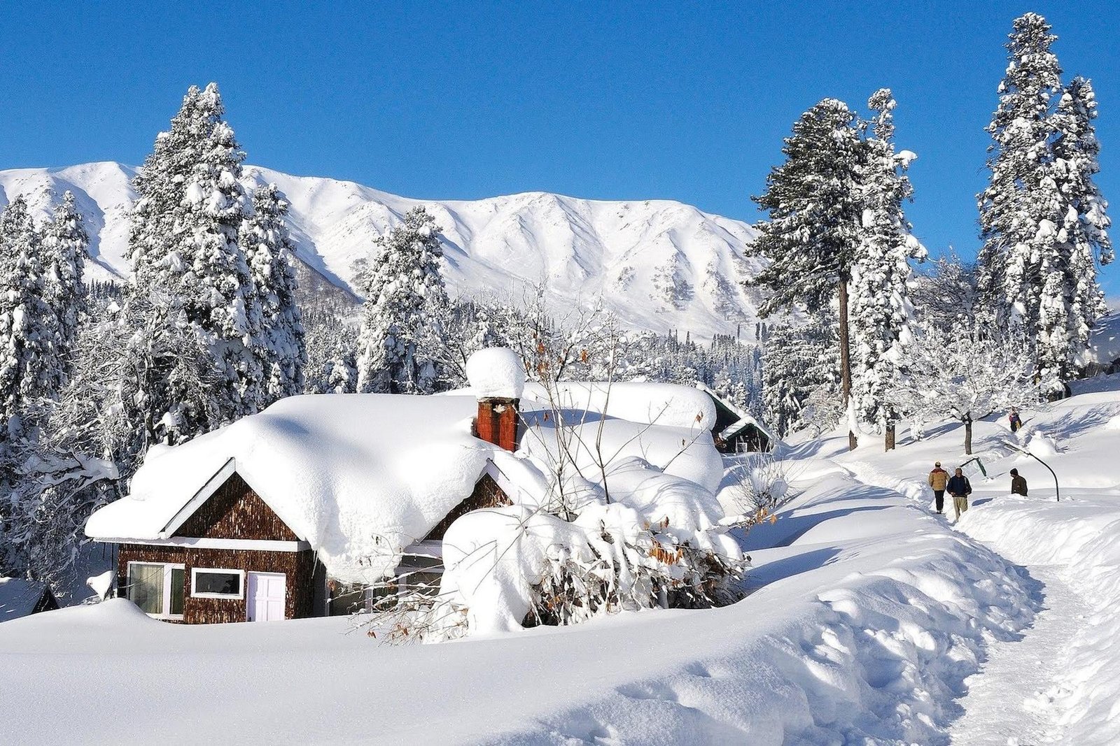
    According to the forecast, the higher reaches of Kupwara and Bandipora districts may receive moderate snowfall, while the higher reaches of central and south Kashmir are likely to receive light to moderate snowfall. The season’s first snowfall is also possible in the plains of Gulmarg, Sonamarg, Doodhpathri and Pahalgam, which would be an early taste of winter for the Valley’s best-known tourist resorts.

    Weather is expected to improve after the spell, with partly cloudy conditions forecast for 14 and 15 November. Srinagar itself has been waking to misty mornings, with the temperature around 4 degrees Celsius early in the day and sunshine pushing it towards 20 degrees by the afternoon.

    The coming spell follows fresh rain and snowfall over the higher reaches earlier this week, including the Razdan Pass, on the evening of 5 November. Pahalgam recorded the season’s lowest temperature so far at 1.5 degrees Celsius, while Gulmarg registered 2.0 degrees and Srinagar 4.0 degrees.

    With winter approaching, the weather department has advised farmers to complete their crop harvesting before 10 November, and people travelling to the higher reaches to stay updated with the latest weather advisories. November usually brings the first snow to Kashmir’s high peaks, and this year the mountains look set to turn white right on schedule.

  • Kashmir snowfall: Gulmarg, Sonamarg get fresh snow Oct 14

    Kashmir snowfall: Gulmarg, Sonamarg get fresh snow Oct 14

    An active Western Disturbance swept across Jammu and Kashmir overnight, dumping fresh snowfall on the higher reaches while rain lashed the plains, including Srinagar, officials said on Wednesday.

    The Meteorological Centre in Srinagar has forecast unsettled weather over the Union Territory for the next two days, with the possibility of rainfall, snowfall and thunderstorms at several places, according to Kashmir News Service (KNS), which reported the development on October 14.

    Officials said light to moderate snowfall was recorded in the higher reaches overnight, covering the popular tourist destinations of Gulmarg and Sonamarg, as well as the Zojila axis and Pahalgam. The season’s early snowfall is expected to draw attention to the region’s autumn tourism calendar, which traditionally peaks as the famous chinar trees turn gold and crimson.

    Fresh snowfall was also reported from the Tulail region of the Gurez Valley and the Razdan Pass in north Kashmir’s Bandipora district, officials said. Both are high-altitude areas that remain snowbound for much of the winter, and the early snow is seen as the first sign of the approaching winter season in the Valley.

    Advisory for travellers and farmers

    Travellers have been advised to exercise caution and check the latest road conditions before beginning their journeys, particularly on mountain routes where snowfall and adverse weather could affect traffic. Transporters operating on higher reaches have been asked to remain alert, and people have been urged to follow official traffic advisories and take precautions during thunderstorms and gusty winds.

    According to the forecast, light to moderate rain is likely at many places between October 13 and 15, while the higher reaches may receive light snowfall. Thunderstorms and hailstorms are also possible at isolated locations during this period, officials said.

    The weather is expected to improve from October 16, although a brief spell of light rain cannot be ruled out at isolated places. Generally dry conditions are likely to prevail from October 17 to October 24, according to the forecast.

    Apple harvest at a crucial stage

    In view of the expected weather conditions, farmers have been advised to ensure the safe storage of harvested apples, paddy and other crops during October 13 to 15 to minimise possible losses, as moisture and hailstorms can damage produce left in the open.

    The timing is significant because the Valley’s apple harvest, one of the most important horticultural seasons of the year, is currently under way, and growers in many areas have still not moved their produce to safe storage.